

- /
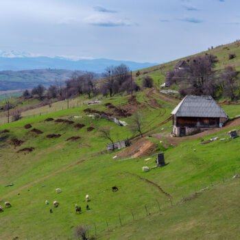
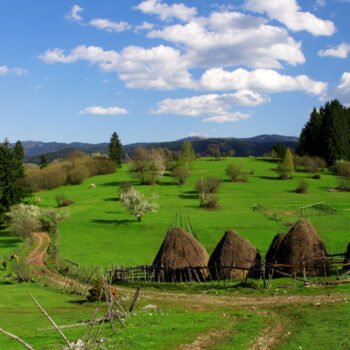
- Katun Road Pešter Pastures
- /
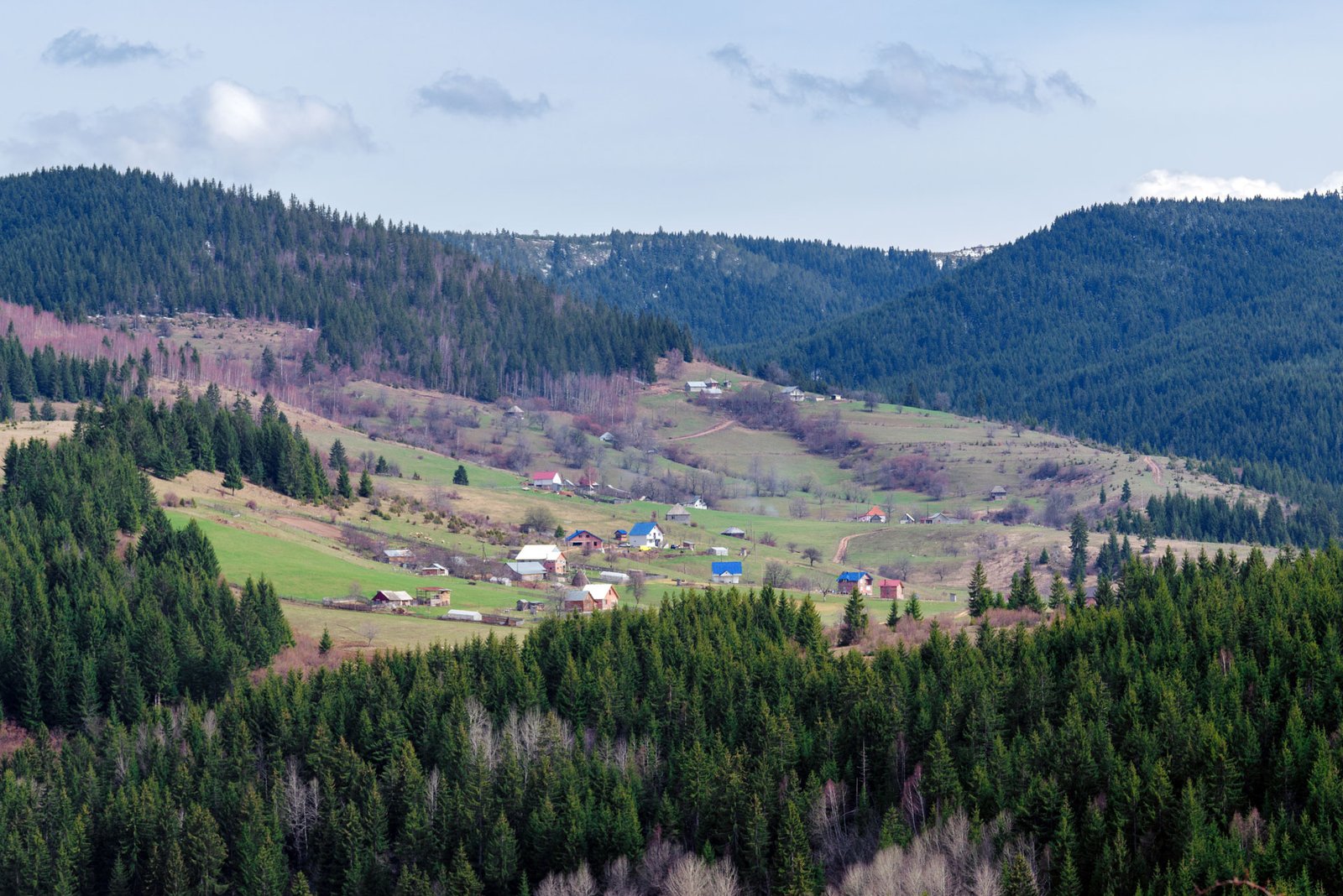
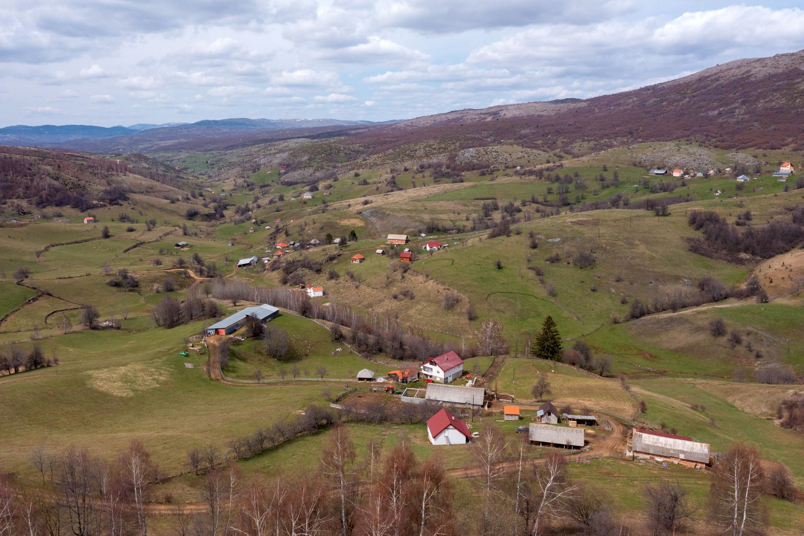
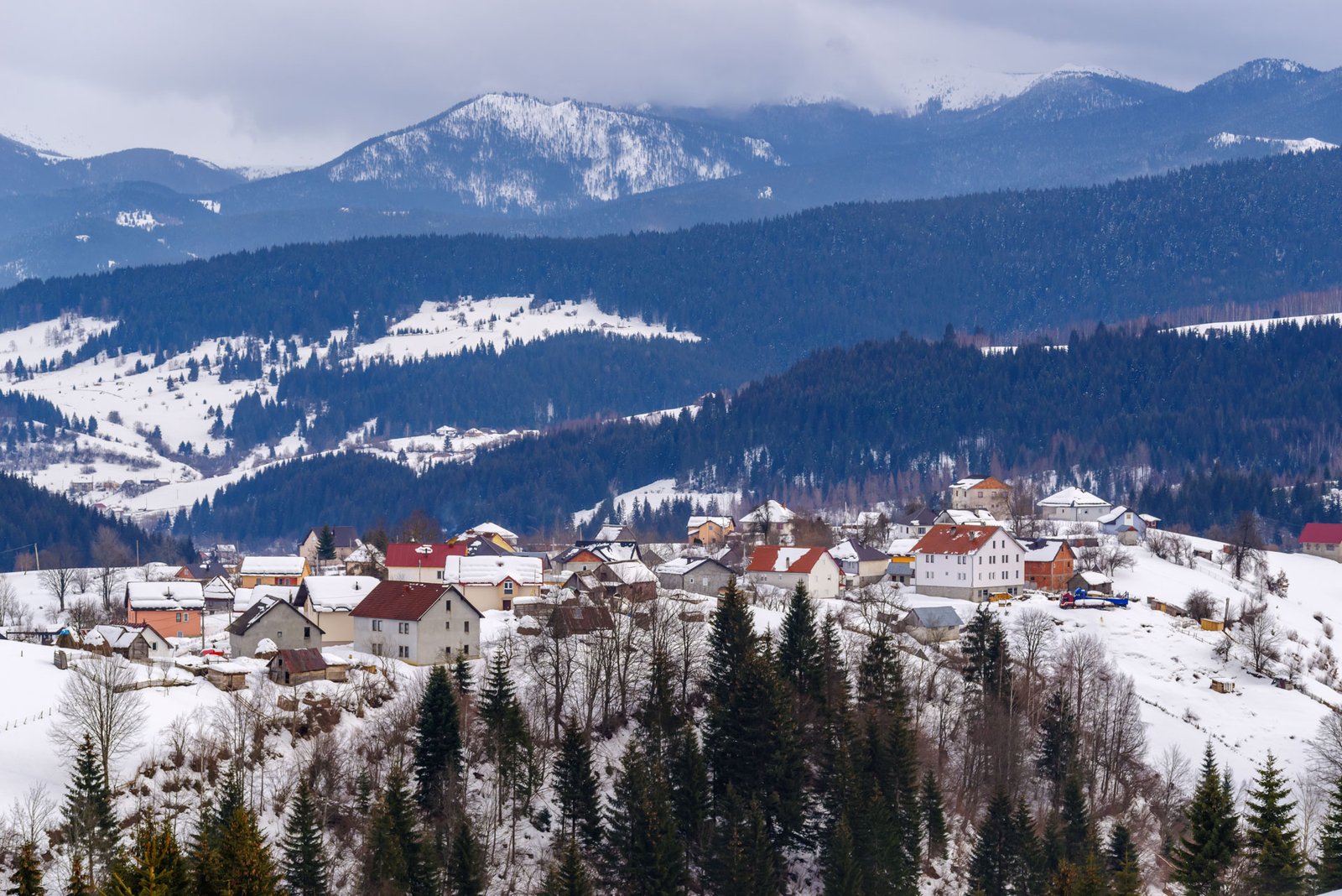
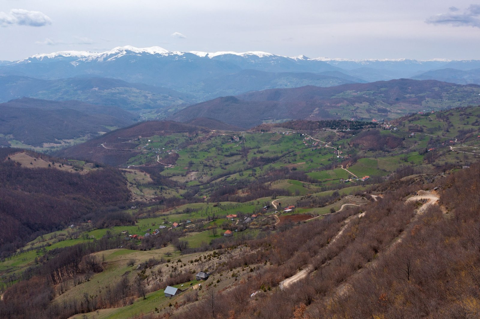
- Villages And Katuns
Villages And Katuns


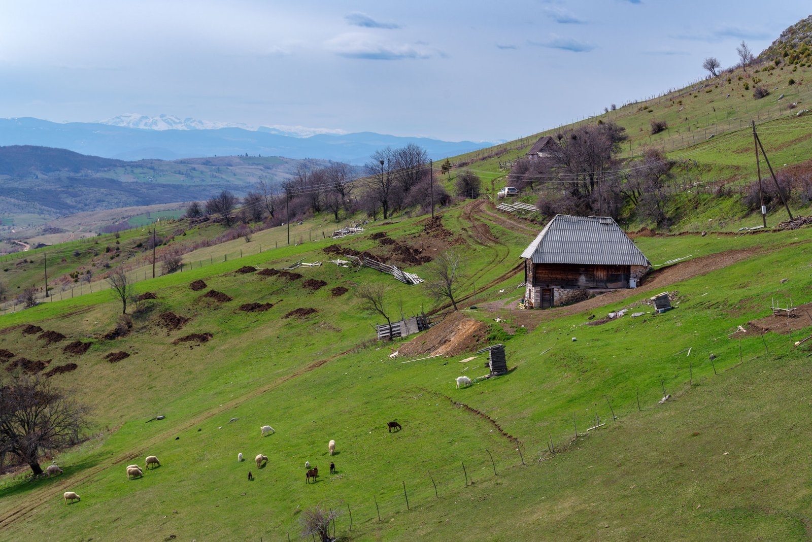
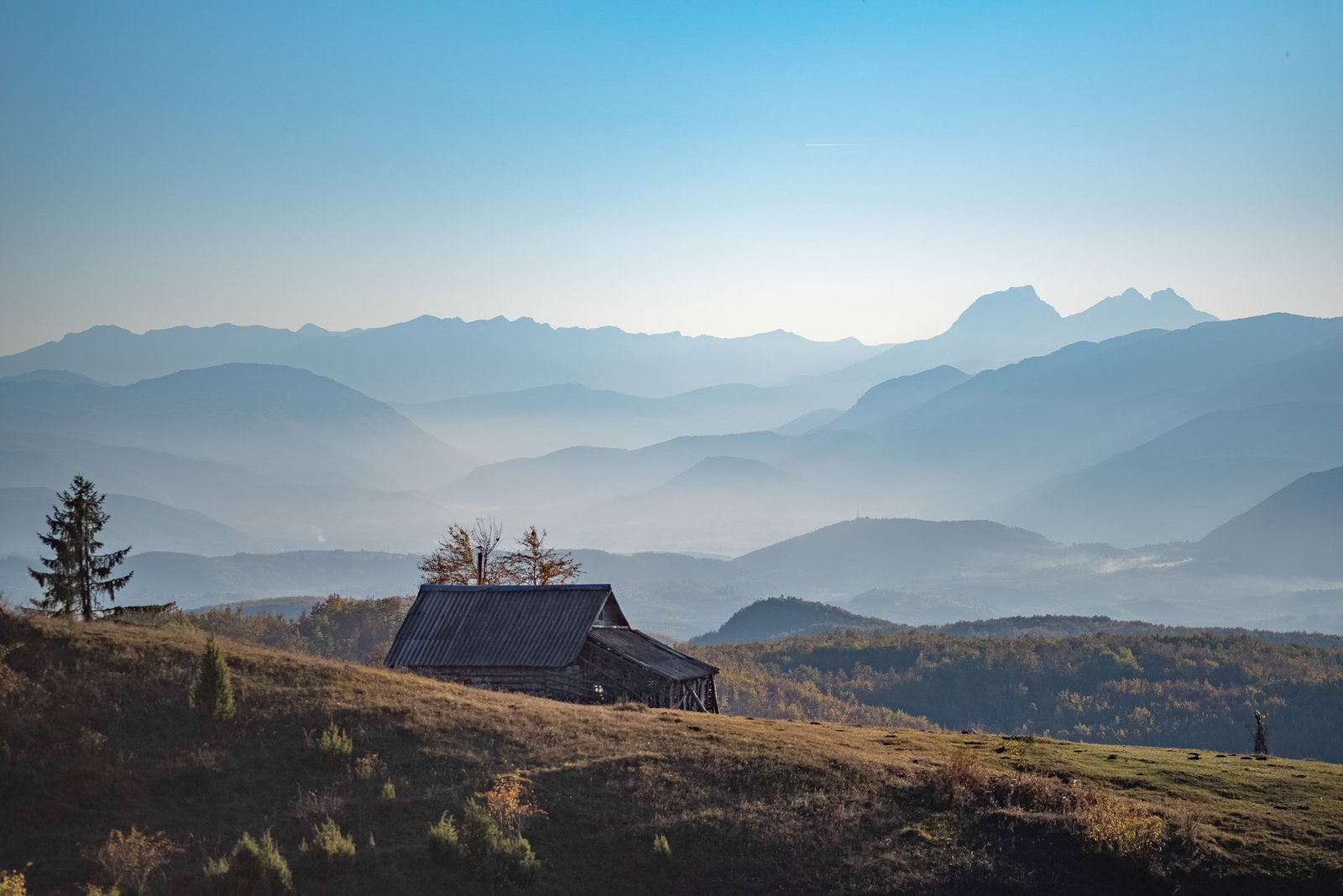
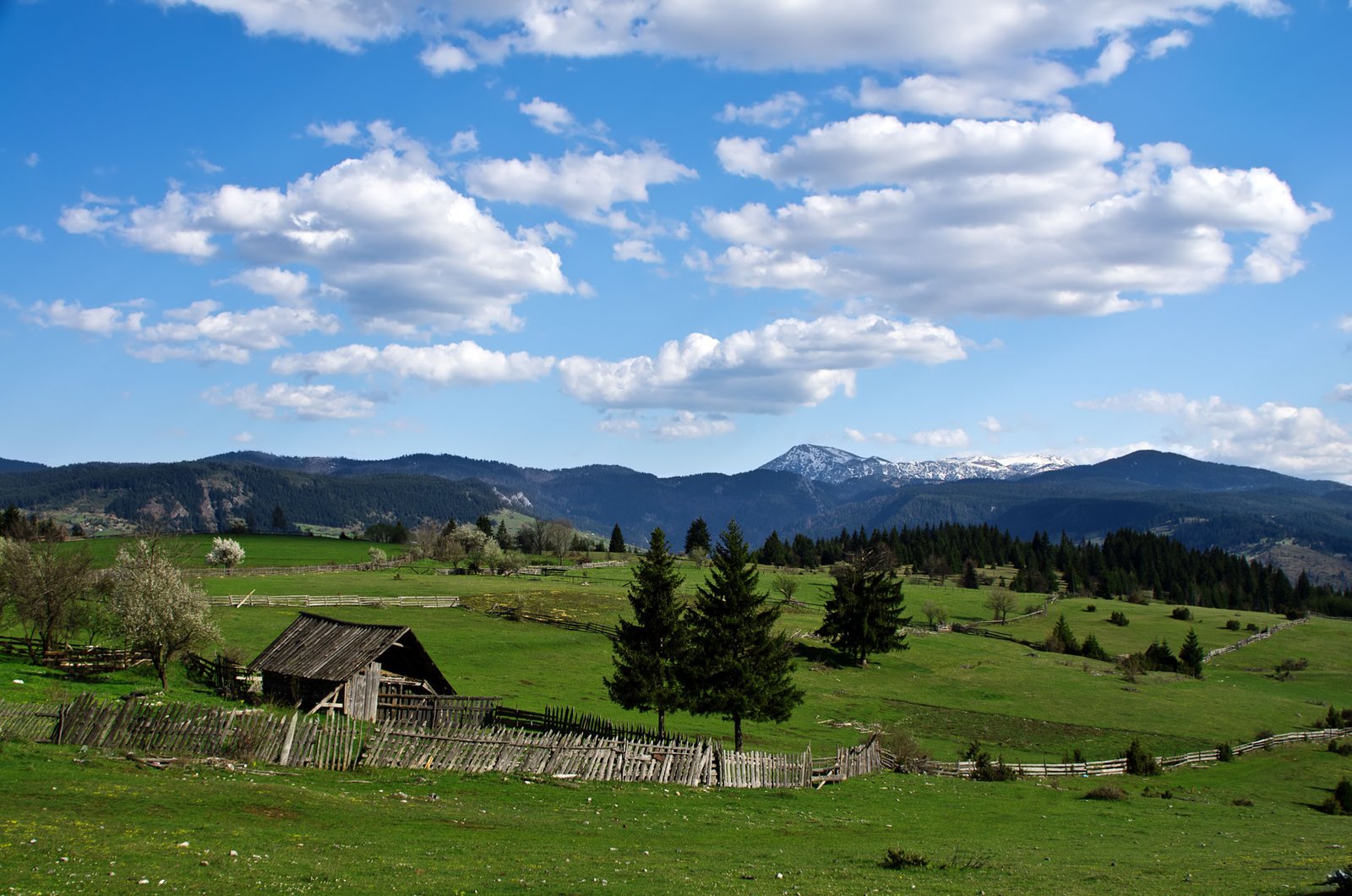
TORINE – the oldest katun
At the archeological site Torine near Petnjica, half a meter below the land surface, a house from the Bronze Age was discovered, together with a large number of whole ceramic dishes found around the hearth, some tools made of bones, pickaxe made of deer antlers, needles and pins. All the evidence indicate this was a summer seasonal settlement, a forerunner of today’s katuns.
So, the history of a seasonal, summer sojourn with your cattle outside the village, on the mountain is a long one, as in other areas in Montenegro.
There are considerably less ‘live’ katuns today than before, less cattle too, but the closeness of villages and better conditions may still make it possible for the Pešter pastures to be covered by white flocks of thousands of sheep.
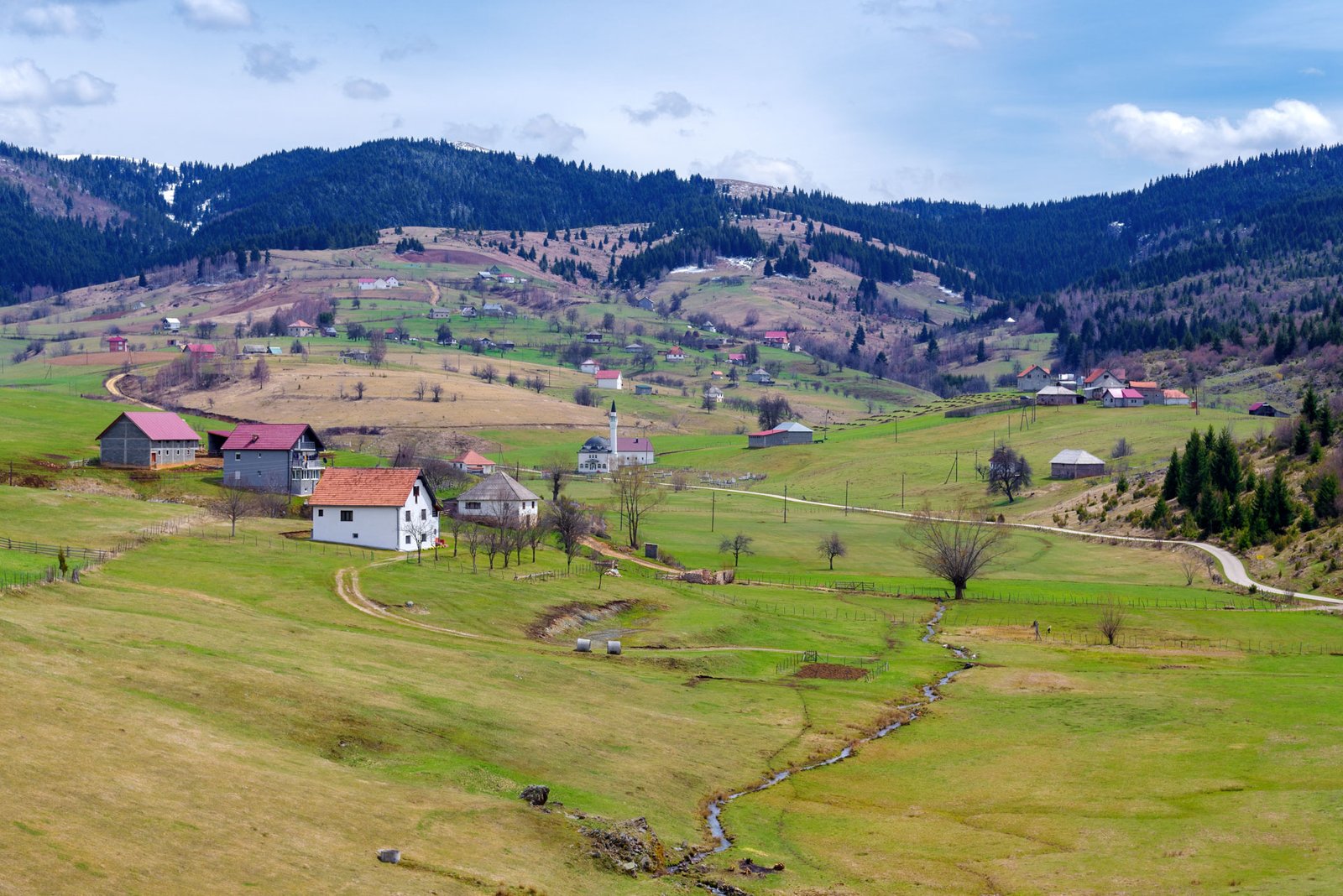
BISTRICA VILLAGE
Villages located in the valley of the river Bistrica were mentioned in the Turkish census in 1571. Their center used to be a settlement Kule, a place where Haydar pasha Selim built his four-story tower, and he ruled the area from there. The center moved slowly towards the mills and soon the first inn was opened close by. This inn was destroyed by the river Bistrica in 1896, all that was left of it was a folk saying: The mad water brought it here, the muddy took it away.
Despite what happened, inns sprouted up like mushrooms, and the very settlement was named Kahve (Inns) after them, today’s Bistrica. Peasants from the surrounding villages would come here to grind their grain and to spin their wool and while they waited for the job to be finished, they would relax in one of the inns. Soon, the first caravanserai was built too, and they could spend the night there. The village grew rapidly, shops were opened, tailor shops, barbershops, cookshops, blacksmiths, rope producers, butcher’s and bakeries and Bistrica became the local and administrative center.
The mosque in the village center was built in 1970, on the foundations of the old mosque that was burned in 1943. A legend says that the old mosque was built in the first half of the 19th century by the rich Avdulbeg Hasanbegović. The Hasanbegović family owned mills, wool spinners and one of the most beautiful chardaks (typical Balkan house) in the area.
Built more than 250 years ago, this three-story chardak survived the passage of time up to the 1970s. Two families of different religion, Hasanbegović and Đalović lived in it from the beginning of the 20th century. This dual ownership succeeded in saving the house during the Second World War. It was the only house in the village that was not burned in the interethnic conflicts.
VRH VILLAGE
The village situated below the Korita plateau, on both sides of a stream which springs from a rather large source. Houses are built on upper tablelands. They are surrounded by meadows with fields under summer crops.
Pojilo is a strong spring that moves the mills. Next to it are the mills of the elderly population. In addition to the three old graveyards and churches in them, the remains of a fortification have been preserved in the village. It is called Jerina’s town or Gradina by the people. It was built on a limestone ridge that overlooked Korita ,on the one side and the river Bistrica valley, on the other side. It used to be a key point for watching over both areas. According to the remains, this fortification was very significant. It was made of a spacious tower, set in the most prominent part and of 60 to 70-meter-long ramparts spreading towards eastern, more accessible part of the fortress.
SIPANJE
A settlement linked for the range of valleys and landforms at the foot of Gvozd, Venac and other slopes, separating it from Bihor.
Even though it is located on a limestone surface, Sipanje is not without water. At the foot of the slope, where water resistant rock rise to the surface, small springs source and sink soon after.
Traces of earlier settlements: Selište and Latin graveyard situated at the edge of village.
BOR AND SAVIN BOR
The village of Bor is settled in a spacious landform between the slopes of Pločnik and Komarevac (Komarev laz) on one, and Smiljevina on other side. Bor is characterized by the bountiful of meadows and pastures. Mountains Moravac and Konjska Rijeka are close by, they bring the hay from there during winter on sledges. The sunny sides are also favorable for small grains.
Savin Bor is separated from Bor by a gorge of the Sadrigać spring. It is situated on gentle slopes of the hill Komarev laz, above the gorge of the river Popča. A smaller slope divides the village into two parts: Staro Selo and Bare. Crop fields surround the houses and meadows are situated below the village. Main meadows are located on the mountains Pločnik and Crno vrelo, and they are half-an-hour walk away. Savin Bor abounds in springs.
A rural household is set here and it offers meals, so it is a nice place to make a break when traveling.
BIŠEVO
Biševo settlement is the largest settlement in Rožaje municipality, it is more than 20 kilometers long. It is a home of around 450 households and archeological data show that it was inhabited in the Roman times. Since it is situated at the very border between Montenegro, Kosovo and Serbia, it has had, throughout history, a significant role as a crossroad of trade routes.
It is also important because of the fact it has the oldest one of all the rural mosques in Rožaje. It is believed to have been built in 1620 by Hadži Mujaga Biševac, who owned, as the stories say, a caravanserai in Istanbul. It is rich in woodcarving, it is made of stone, with walls more than 80 cm thick.