

- /
- Katun Road Untold Bjelasica
- /
- About Bjelasica
About Bjelasica


Borders of Bjelasica, the so-called White Mountain, were drawn by the two powerful rivers: Tara and Lim. Every single map clearly shows an almost regular circular base of the mountain in the heart of Montenegro.
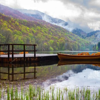
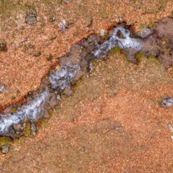
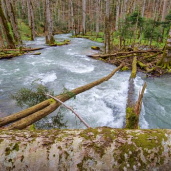
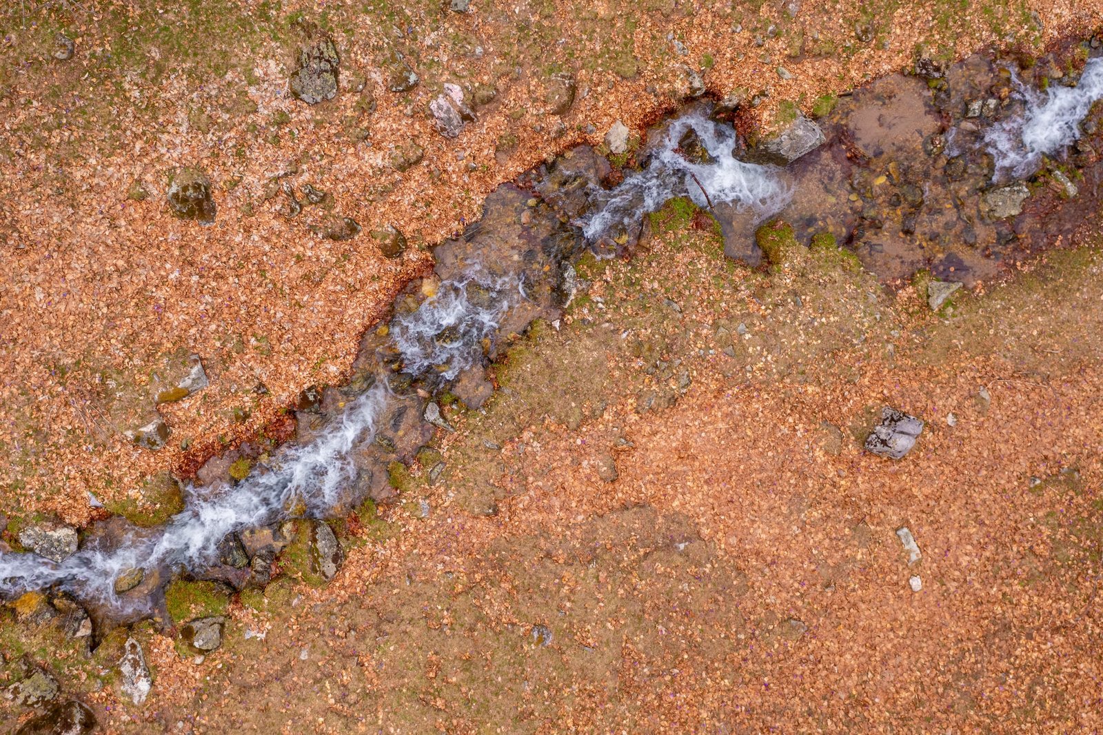
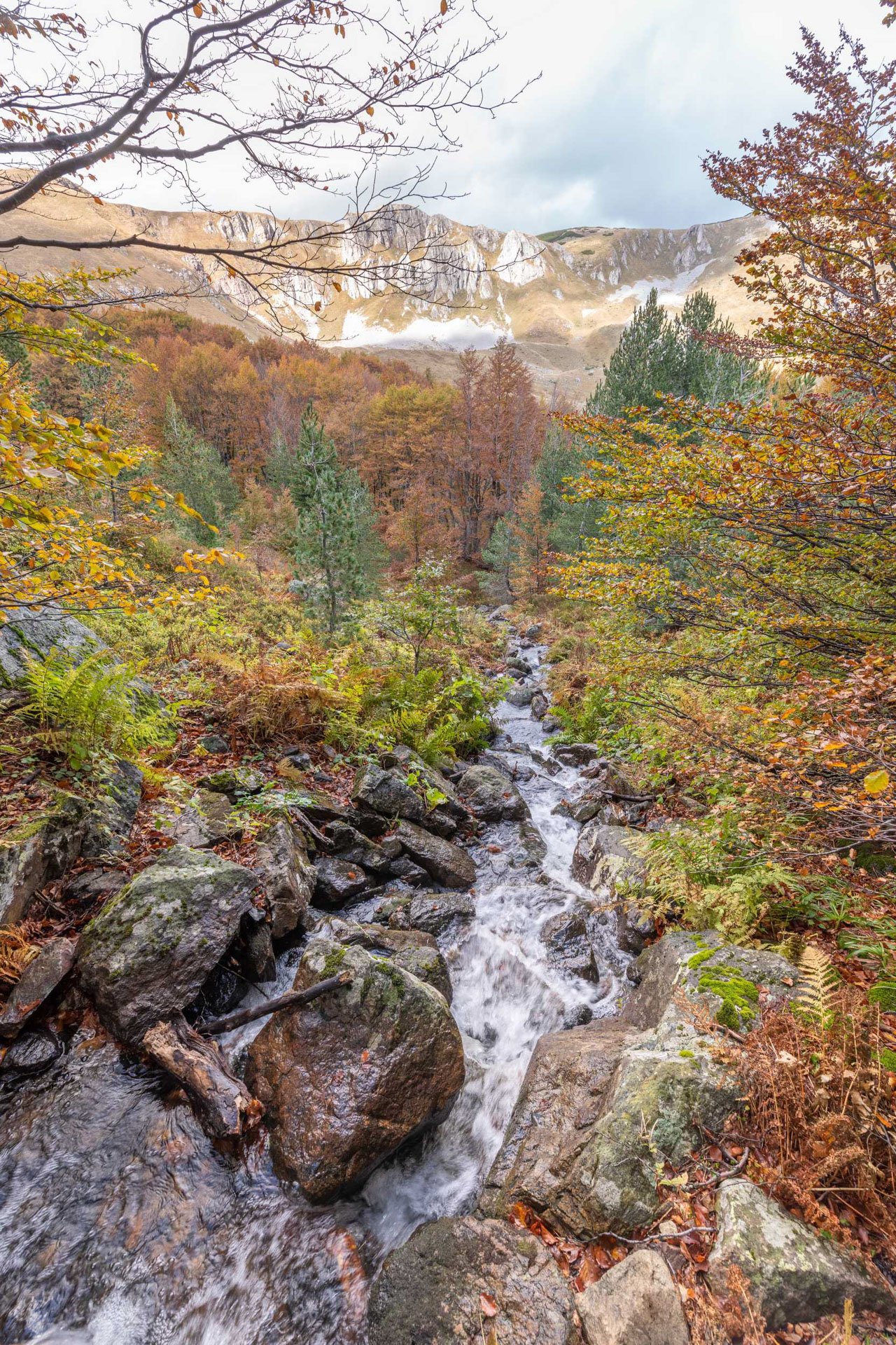
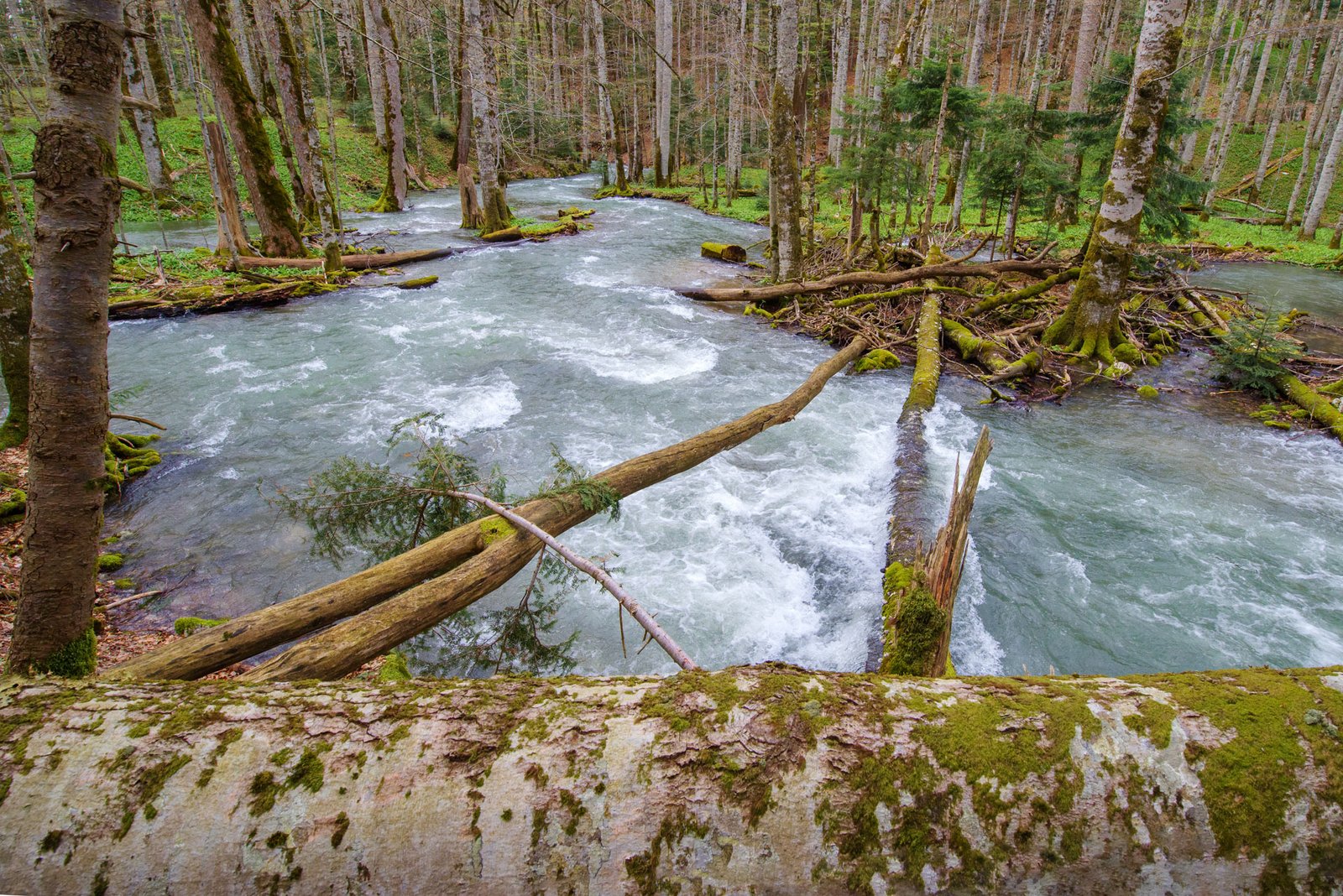
All its springs and smaller rivers run towards Tara and Lim, and so the snow from the White Mountain, via Drina, Sava and Danube travels all the way to the Black Sea.
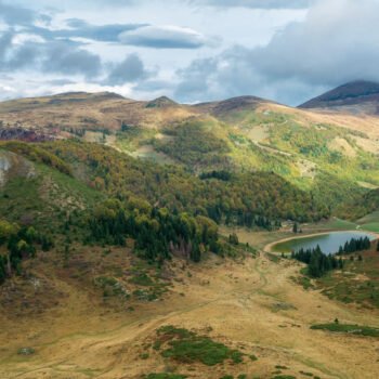
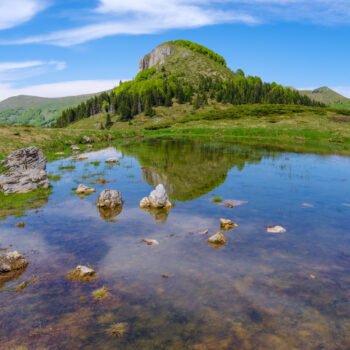
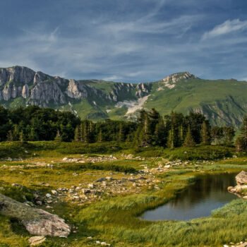
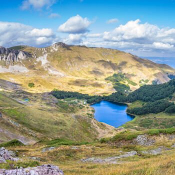
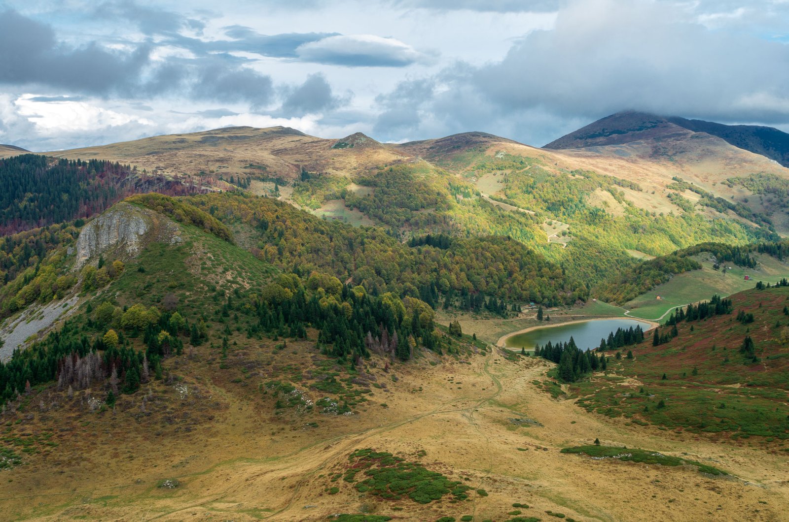
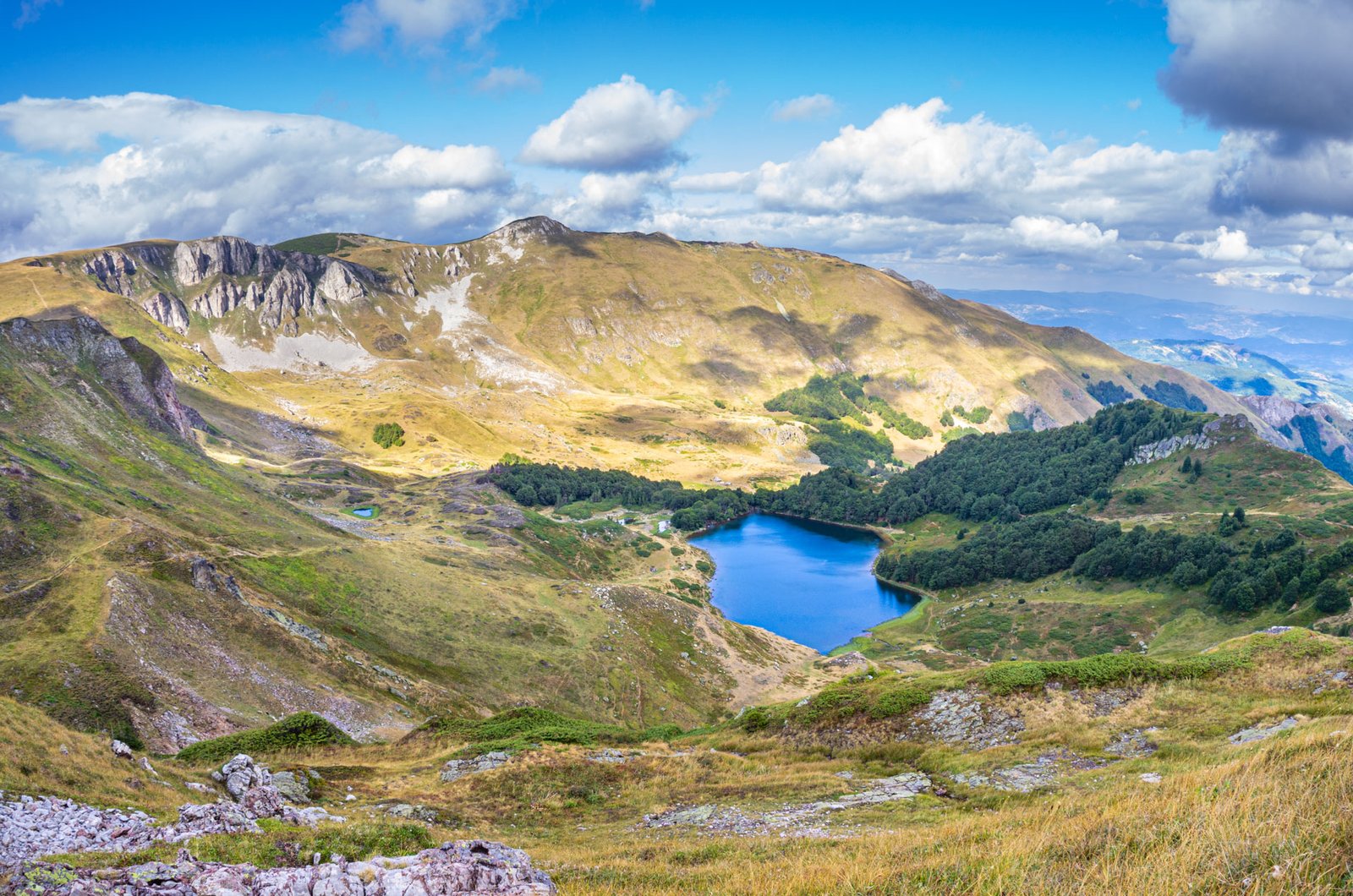
While watching, on the map or on the spot, rounded peaks, valleys and notches, glacial lakes, it seems easy to imagine the glaciers that slowly, a millimetre at a time, glide like some giant chisels, carving ridges, as if writing down a testimony, and finally melt down relentlessly.
But it is not so easy to imagine that there was once a volcano in the heart of the beautiful Bjelasica. Nevertheless, it was there. Bjelasica is the only mountain of volcanic origin in Montenegro. The entire mass of its various rocks rests on a vaulted eruptive core.
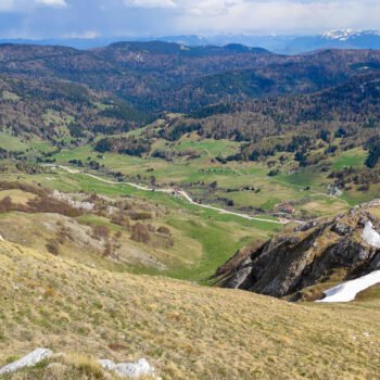
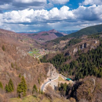
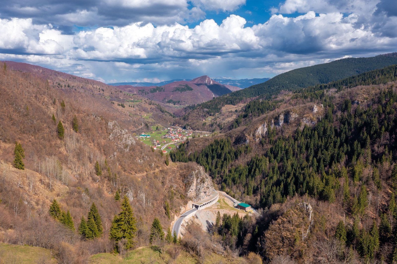
Spreading over approximately equal width and length of 30 kilometres, it covers an area of 620 square kilometres. Whichever path you take, it is easily accessible and passable. Bjelasica is, in fact, the most passable Montenegrin mountain.
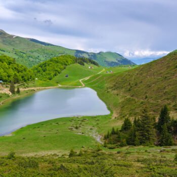
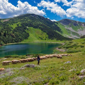
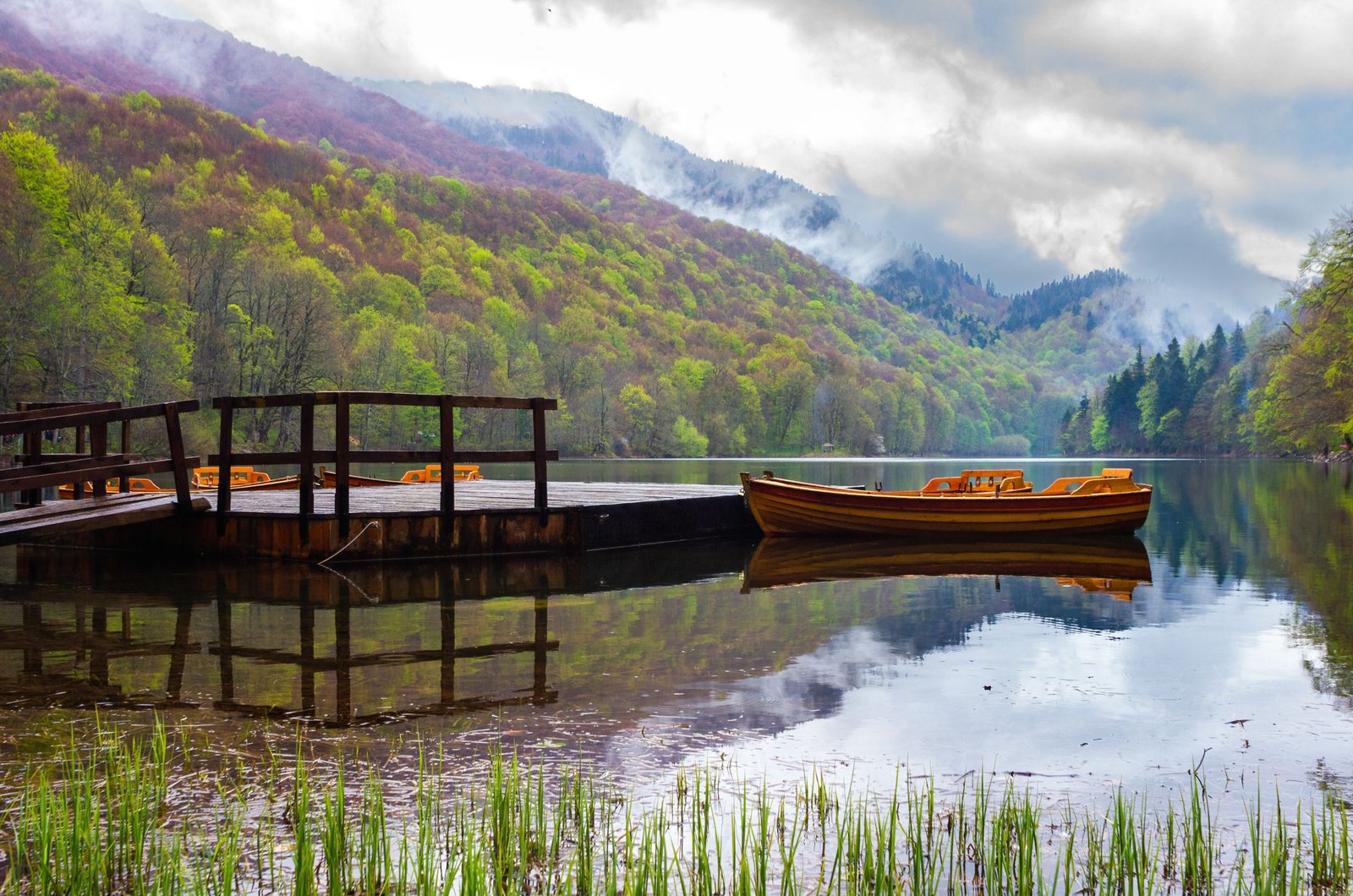
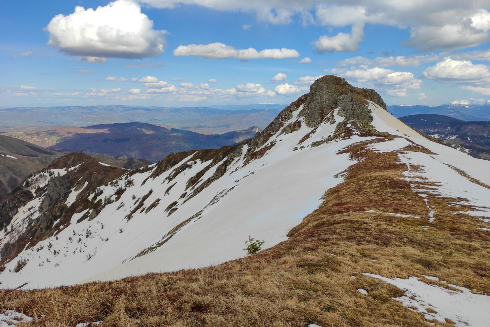
The relief unit is made of three mountain ranges, framed and intersected by river valleys. The highest of the peaks, at the altitude of more than 2,000 meters is Crna Glava (2,139 m). The gentleness of Bjelasica can be seen not only in its grassy slopes and tucked in valleys but also in its springs, rivers and lakes.
The name of the mountain is of Slav origin, from the word white, whitish, or sunbeam, because it is covered in snow for most of the year.
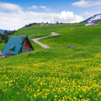
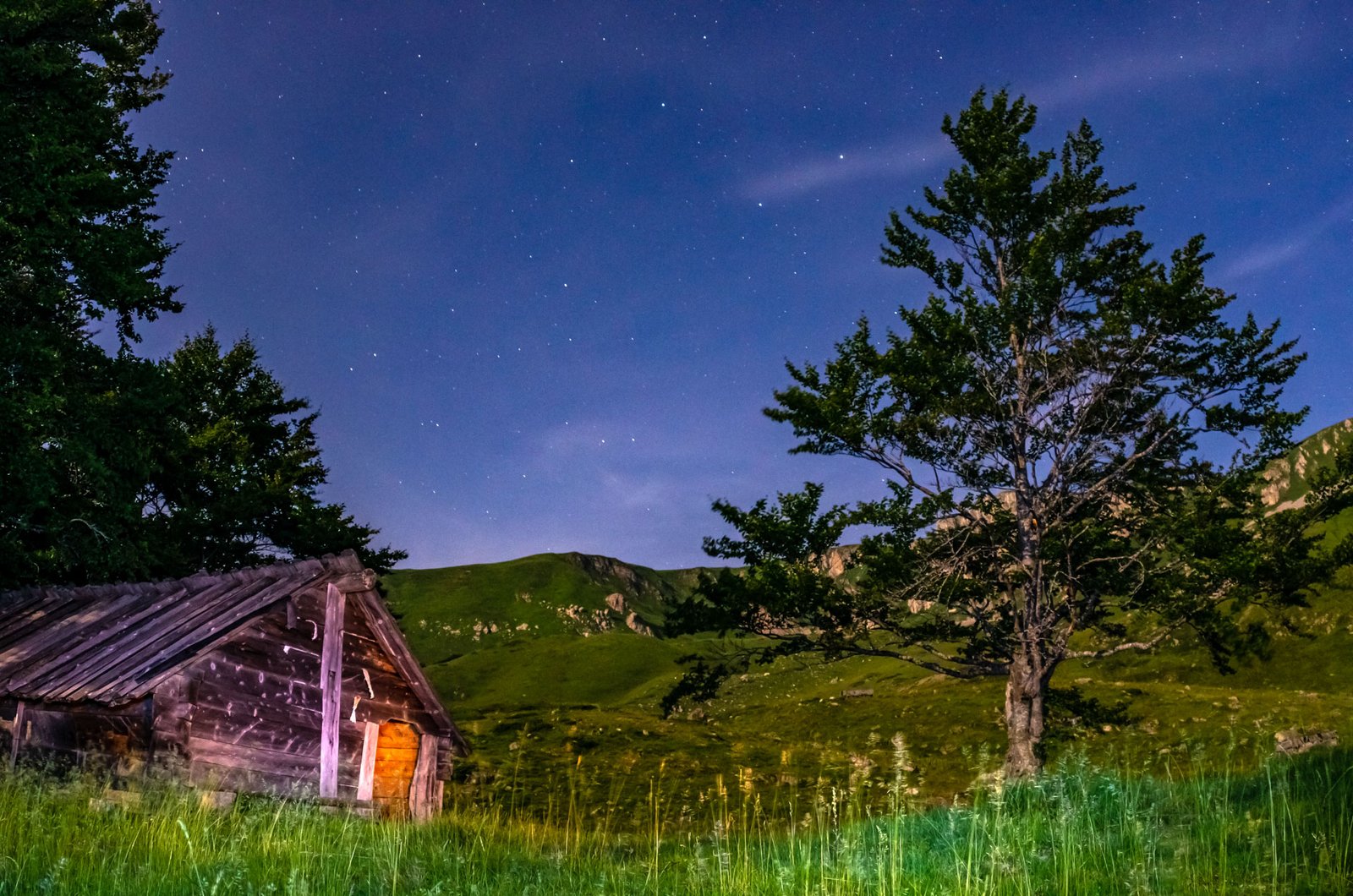
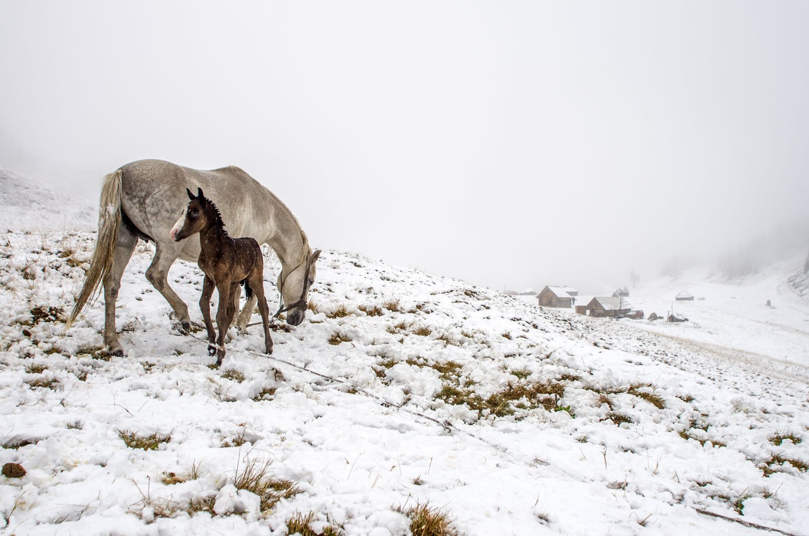
Fires burning inside the huts on the katuns and smoke billowing from them, tell the stories of armies, miners and traders, of pastoral love, fairies and wolves… Bjelasica’s geological past is long, but the period of time it has lived together with people, is not short either.
Finally, no matter how many treasures and beauty it gifts to people from its surface and its depths – it has an immense amount left for eternity.
Surface of the Bjelasica massif – 630 km ²
Municipalities – Kolašin, Mojkovac, Bijelo Polje, Berane and Andrijevica
Rivers – Lim and Tara are situated on the east and west of it and Ljuboviđa and Lepenica are on the north
Glacial lakes – Biogradsko, Šiško, Ursulovačko, Pešića and Ševarine
Highest peak – Crna glava, 2,139 meters